 |
 |
 |
 |
Rio Cuestis 


Description:
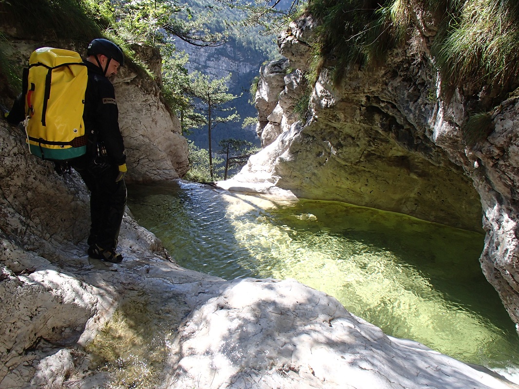
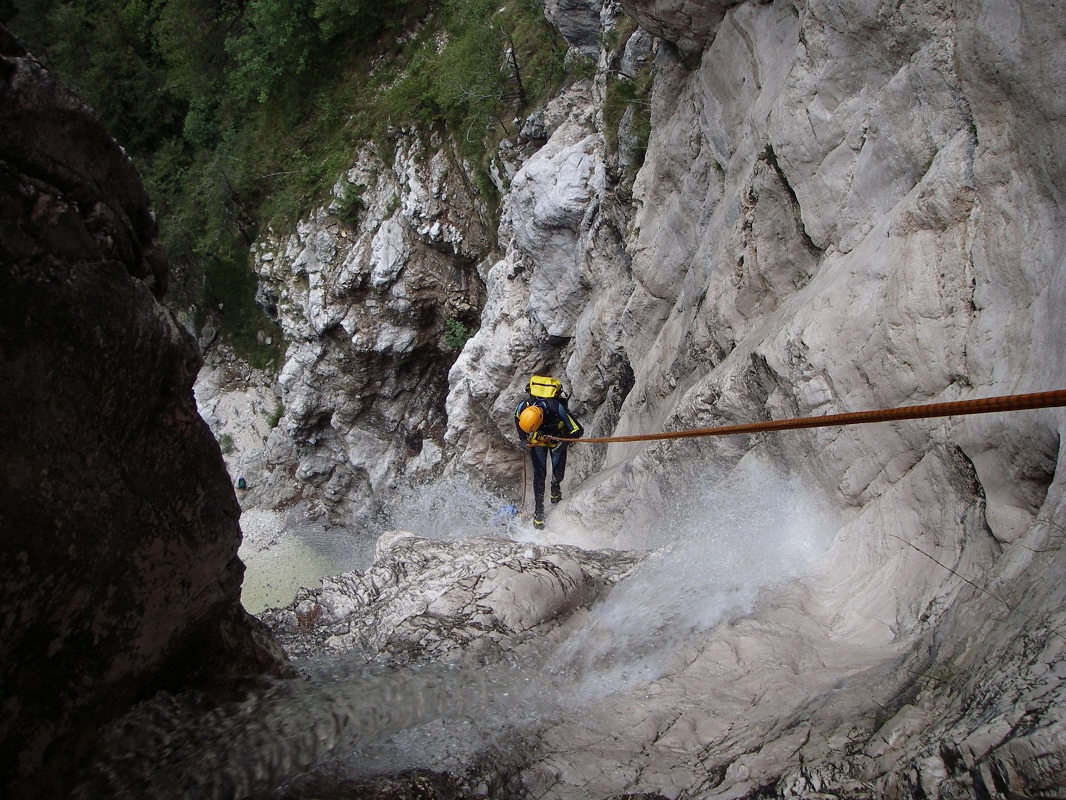
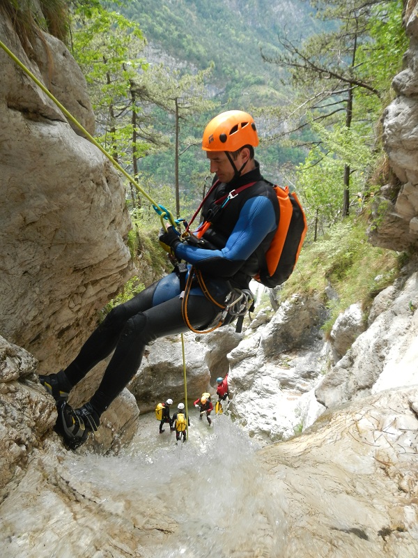
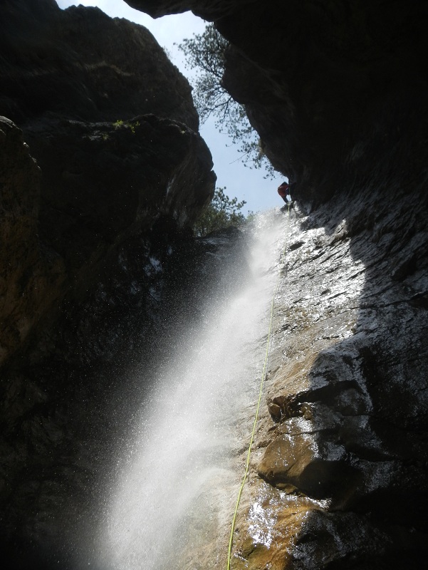
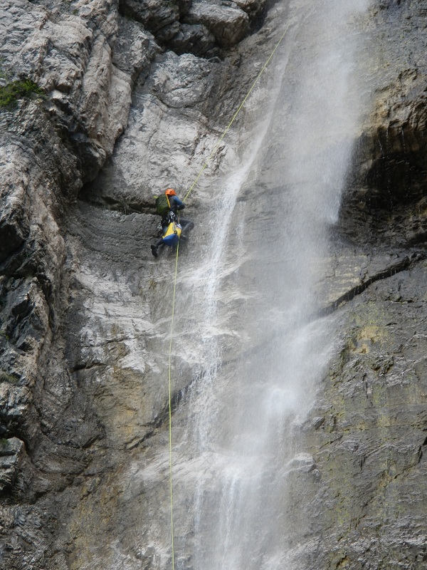
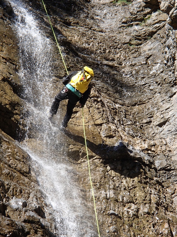
An interesting canyon with a considerably vertical final section. This canyon offers a mix between open, panoramic sections and dark, encased sections with high, vertical pitches.Although this canyon often has little water flow, this is often enough to maintain several deep pools offering the possibility of some jumps. Even in periods of drought, some of these pools remain full of water. It becomes extremely interesting in those rare periods of moderate flow, and is best avoided when the flow rate is just a little more than minimal.

Zone:
Friuli Venezia Giulia - Chiusaforte (UD)Elevation and length:
Entrance: 776 mExit: 335 m
Height difference: 441 m
Length: 1000 m
Highest pitch: 65 m
Advised decent period:
From May to October (advised after rainfall to ensure water flow)Exposure:
South to south-westTimings:
Approach: 1h 15 minsDescent: 4h
Return: 0
Shuttle:
NoAnchors:
Excellent ProCanyonAdvised ropes:
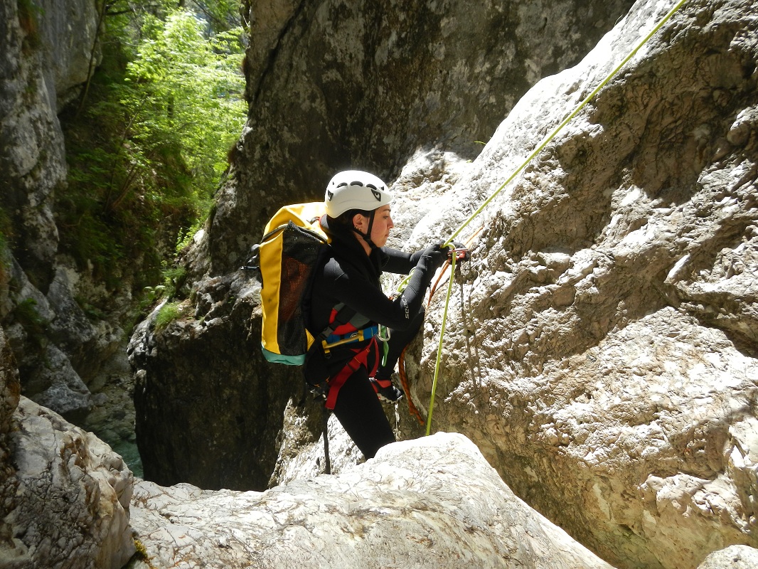
2 of 65 m + 1 of 40 m + emergency ropeGear:
Wetsuit. In the summer in periods without water flow it may be appropriate to wear only salopettes. Some traverse lines (MCs) and deviation points on the main waterfall may require periodic replacement, therefore, it is advised that you bring some spare rope to leave behind and some Maillon rapid.Escapes:
In the first, open section (close to the entry point), tracks can be seen on both the left bank (one) and on the right bank (a couple).After the first of two big pitches you see a ruin on the left with a path. This path is absolutely abandoned and, at times, difficult to identify. In about 40 minutes, it reaches a track that leads to the old military fort. This escape is not recommended unless absolutely necessary.
Before the last five pitches, an obvious trail branches off from where you can see the end of the canyon.
Map:
Carta Tabacco 1:25000 foglio n° 018 - Alpi Carniche Orientali Canal del FerroInterest:
Regional (in dry periods) - National (with water flow)Difficulty:
V5 a3 IVCoordinates (WGS84) for the start of the path n° 425a:
46° 23' 51,72" N 13° 15' 51,84" ECoordinates (WGS84) of the riverbed access point (start of canyon):
46° 24' 19,45" N 13° 16' 27,84" ECoordinates (WGS84) for the end of the canyon:
46° 23' 47,4" N 13° 16' 16,68" EApproach to the valley (lower car park):
Follow the main road SS 13 towards Tarvisio. Just after the tunnel as you pass the village of Resiutta, turn towards Roveredo at the folk junction and park immediately next to the bridge over the Rio Cuestis in an obvious area to your left.Approach to the canyon (walking):
Take the footpath n° 425a that starts about 100 metres further along the asphalt road than the valley parking. This path climbs steeply up to a level area where
some ancient ruins are still evident, from here the path continues slightly downhill until you reach the stream bed at a weir that marks the beginning of the
route.Description and technical notes:
01 - J 3 / DA number of downclimbs without rope
02 - P 5 L
03 - P 13 (4+9) R + DEV L
Continue for approximately 100 m
04 - NA 6 L
Continue for approximately 100 m
Debris channel to the right - possible escape route
05 - NA 9 L
06 - P 3 R
Narrow and meandering section begins
07 - P 3 R
08 - P 9 R + DEV R
09 - J 3 / D L
10 - P 8 L
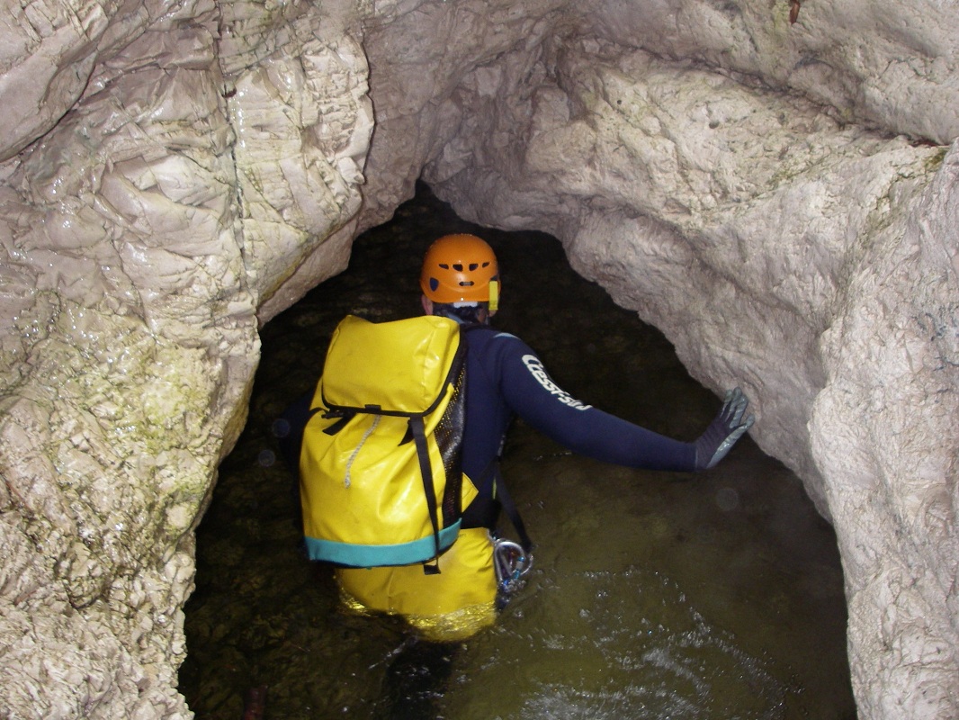
Characteristic underground passage
11 - MC + P 11 L
12 - MC + P 10 R
13 - MC + P 25 L
14 - MC + P 18 R
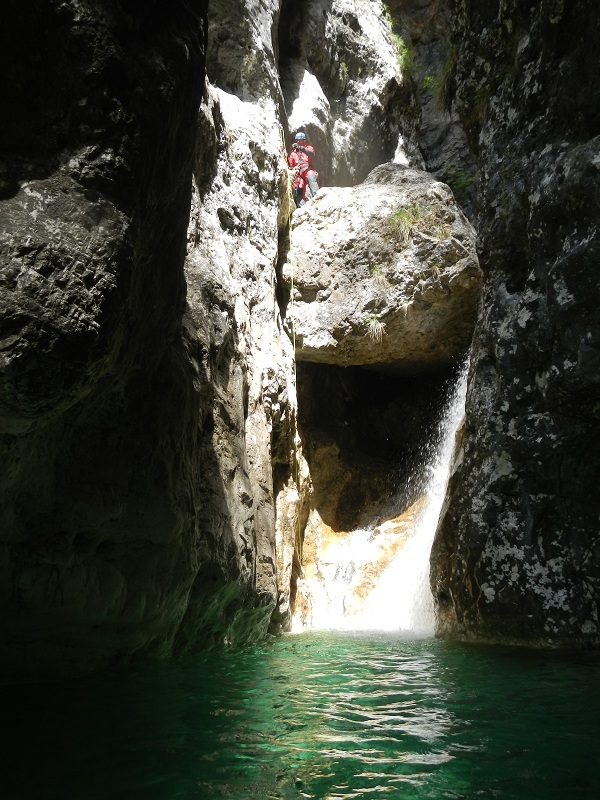
15 - P 65 L + PI + 2 DEV R
Pitches 14 and 15, together, make up the large waterfall pitch visible from the car park. They can be descended together as a single pitch using 2 × 80 m ropes, however, this would cause considerable friction on the rope. As a better solution, a second bolt can be found below the roof, and with the use of deviations on the larger, second pitch, you are ensured a good line of descent.
Si giunge quindi ad un breve tratto in piano. Rudere e sentiero di scappattoia a Sx
16 - MC + P 57 R
17 - P 29 L
18 - P 10 R
19 - P 8 L (abnormal anchor point, only one plate + tree on the left)
20 - P 12 L
Exit:
Just before, or after the bridge, climb up the left bank to reach the car.Notes:
The first descent was on 05/08/04 by Maurizio Biondi, Rosemarie Siegl, Giovanni Pizzorni, Romano Perotto, Roberto Recchioni and Jean Claude Vaternel.URL:http://www.canyoneast.it
Layout, design & revisions © 2017, CanyonEast Canyoning Team - Seba Broili, Vanessa Johnston, Romy Siegl, Cristian Vogrig
Webmaster: uomonero@canyoneast.it - Revised - - 22/08/2017
Layout, design & revisions © 2017, CanyonEast Canyoning Team - Seba Broili, Vanessa Johnston, Romy Siegl, Cristian Vogrig
Webmaster: uomonero@canyoneast.it - Revised - - 22/08/2017


